Jay Buckle Spring
Location
Directions
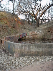
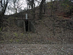
From Carter, OK go south on OK 34 for 11 miles. right turn (west) on paved road this road has lots of curves and hills, go 10 miles to "T" turn left (south), go 6.8 miles over the bridge. Just continue south for about another block (.02 miles) there is a house on left side of road. On the south side of house near a hill is the springs it is on the left side of the road. If you go over the hill you have gone to far. There is also a house directly across the road from the springs. (Watch very carefully for the springs it is some trees.)
Regions
Maps
- 34.96028, -99.69444
- OpenStreetMap
- Google Maps
- Bing Maps
- Apple Maps
- MapQuest
Pictures
Notes
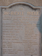
Jay-Buckle Bridge
Initated by E.L. Haygood and Victor Wickersham
Constructed Through the efforts of the following:
~
President Gerald Ford.
U.S. Senator Henry Bell State Highway Commission
U.S. Senator Dewey Barlett J.C. Kennedy - Chairman
Us. Cong. Glenn English Jr. William R Nash
Governor David Boren W.E. Allford
Sen. Gilmer Capps Martin Clark
Sen. Herschel Crow James Gugol
Rep. Victor Wickersham Mrs. Robert L. Parker
Glen C. Southall
Stanton L. Young
Greer County Commisssoners Former State Highway
E.L. Haygood Commissioners
John Stovall C.O. Payne - Chairman
Curtis Wetsel A. L. Klutt
Smith Hester
Robert Kerr
Greer County Party Chairman H. E. Rainbolt
James R. Garrett Dem Wilbur H. Whiteneck
Joe P. Mc.Donald Rep.
Oklahoma Highway Department
Links:
- Oklahoma Wildlife Trail - Stop 23: Jay Buckle Spring
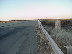
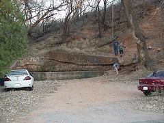
The springs are surrounded by large cottonwood trees. In spring and summer look for Yellow Warblers, Red-bellied Woodpeckers, and Blue-gray Gnatcatchers flitting among the leaves. Just past the springs, which are public access, is the Jay Buckle Bridge, which crosses the Elm Fork of the Red River. Sunrise on this stretch of river is enchanting, and like other bridges in the area, it is home to hundreds of Cliff Swallows.


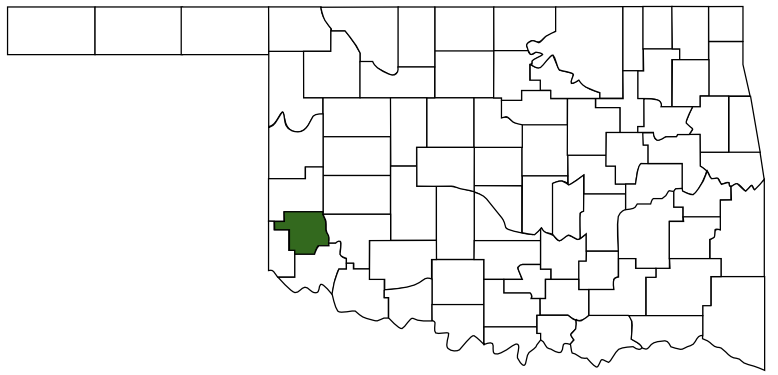 Greer County
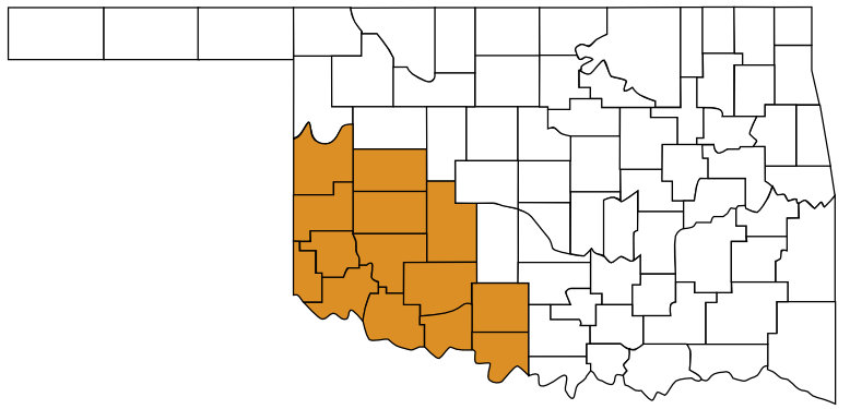 Great Plains Country
 Oklahoma